

New interactive geomap offers a visual gateway to Europe’s hydrogen landscape
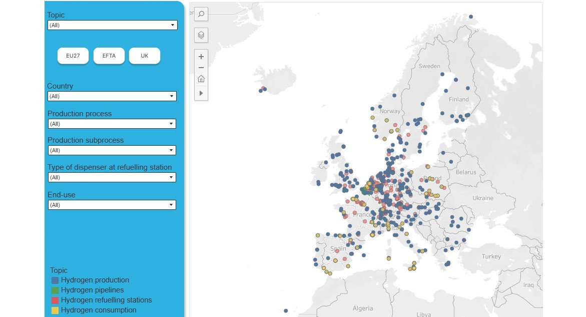
A new customisable and interactive geomap is now available, enabling users to visually explore the European hydrogen market in one integrated platform. The tool brings together key spatial data across the hydrogen value chain, offering an up-to-date overview of infrastructure and industrial activity across Europe.
The geomap includes information on the location and main attributes of hydrogen production plants, publicly accessible and operational hydrogen refuelling stations (including dispenser types), and operational dedicated hydrogen pipeline infrastructure. It also maps major hydrogen-consuming plants – including ammonia, methanol, refining and other chemical facilities across six countries: France, Italy, the Netherlands, Norway, Poland and Spain.
This interactive resource provides policymakers, industry stakeholders, researchers and educators with a practical way to understand the geographic distribution of hydrogen assets and to support evidence-based planning, analysis and decision-making across the European hydrogen ecosystem.
Disclaimer:
In accordance with EU law, we disclaim liability for any content gathered or shared by third parties. Responsibility for the accuracy, legality, and reliability of such content rests solely with the respective third parties.
The UK Hydrogen Project Directory is an interactive online database that provides an overview of hyd...
The interactive database provided by H2.LIVE offers a structured overview of hydrogen refuelling sta...
The Clean Hydrogen JU - JRC Deliverables page provides an overview of key reports and outputs develo...


HyAcademy Project has recieved funding from Clean Hydrogen Parnership under Grant Agreement No: 101137988
Project Lead: Prof. K.Bouzek, Prof. Steinberger-Wilckens

Comment (0)
No comments available.